Hetton Primary1
◄ Back
▲ Home
Next ►
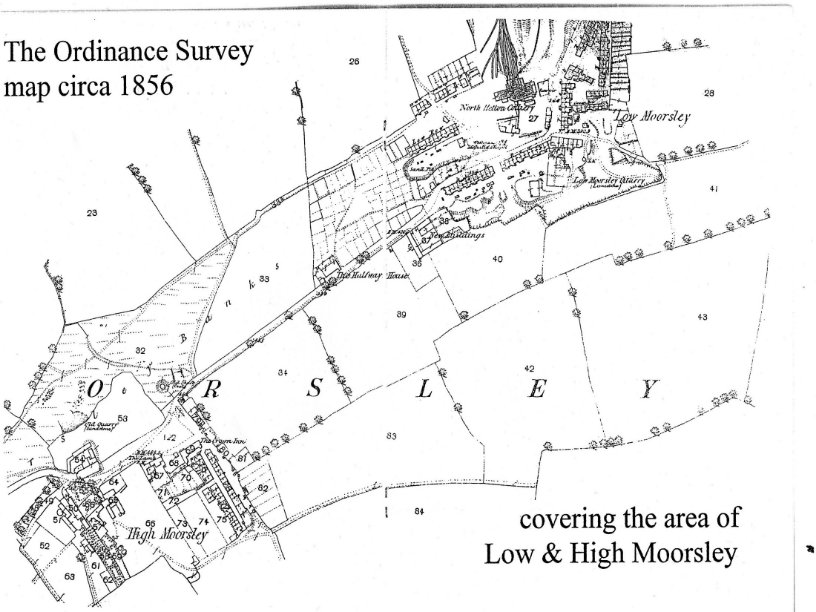
Ordinanance Survey Map 1856 covering Low and High Moorsley.png.jpg